Navigational programs
OpenSeaMap can be run on PCs (Computers, Laptops, Netbooks) with a variety of navigational programs:
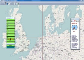
WinNav
WinNav (GPS-32) is a complete navigation programm.
Chart formats: OpenSeaMap, WSV, BingMaps, ENC-, BSB- and self scanned charts.
GPS data
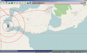
Ship position on the chart (Moving map)
Waypoints by mouse click, send it to GPS, buld routes
AIS-position of other ships
Navigations tasks
NMEA-simulator included
Plotting (with Logbook)
Autopilot control
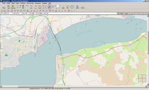
OpenCPN
OpenCPN is the OpenSource-version of SeaClear.
Data format for OpenSeamap: KAP
other formats: BSB, CM93
Features: shows the actual ships position in the map, routing, operates an autopilot, displays AIS signals.
Download for: Windows, Linux
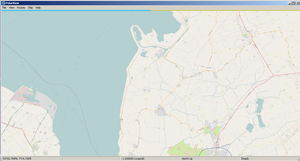
OziExplorer
OziExplorer is a Sharware navigation program (Bitmap)
Data format for OpenSeamap: KAP
Also supports a large variety of other formats and projections.
Features: shows the actual ships position in the map, routing, Chart calibration.
Buy it here: Windows
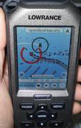
GPSMate
GPSMate is a commercial navigation program, adapted expecially for OpenSeaMap and for "Lowrance Endura" GPS-device.
Download for: Android (free), Windows Mobile
NOAA chart reprojector
NOAA chart reprojector is a free program to convert Bitmap-Charts to over 30 different projections (Gauss, etc)
Data format for OpenSeamap: KAP (Mercator)